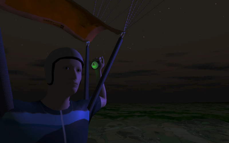
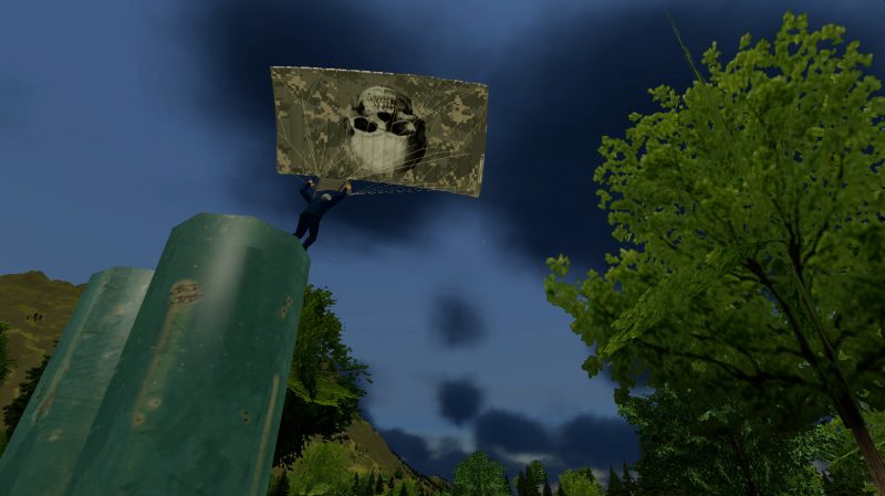
 Users of the Tactical Edition benefit from a range of extended features and services.
- Networked Operation
Connect multiple units via a local network and simulate team missions. 2D and VR units can be arbitrarily combined. - Advanced Environmental Simulation
Choose any time of day or year and add areas of low visibility with fog and clouds. - Instructor’s Station
Monitor parameters like altitude, height, heading, track and position of all connected units on one combined dashboard. Switch to the map mode for a top-down overview. Remotely take control over various parameters of the simulation via a central interface. Limited to the Tactical Edition only, you are able to define different layers of wind, opening altitudes in excess of 5,000 ft and drop points at any distance or bearing from the target. All environmental parameters are applied smoothly, in real-time and without interrupting the user’s experience. - Priority Scheduling for Custom Content Creation
Any order for Custom Content will be handled with upmost priority. As an example, you may expect a basic version of any target terrain to be available for secure download as short as 48 hours if necessary. Higher detail scenarios (like the demo) will be finished in 2-3 weeks. It is also possible to simulate custom gear, like chest-mount GPS units for example.  Premium Support
Besides taking the highest priority among inquiries submitted via email at any time, users of the Tactical Edition may schedule periods of 24/7 standby-service for immediate handling of any support requests by telephone. Got a course starting? Just give us a heads-up as soon as you know! If your problem can’t be solved remotely, we are happy to support you on-site – responding all day and worldwide. Spare parts always ship the next day as well. (Additional charges apply to these services.)
Contact
For an individual offer or if you require any further information, please do not hesitate to contact us anytime. We will very happily try to arrange for a personal demonstration as well.